+870x375/sqm_bvlos_route_870x375.png?h=375&iar=0&w=870&hash=703C4ED66A09BD3037D2D7FD138CE749)
In the project Square meter Farming (SqM-Farm), we use artificial intelligence based on data from sensors on drones, robots, and satellites to help the farmer optimize the yield of the fields.
Drone collects data
The data collection takes place on a weekly flight over the fields of Gyldensteen Estate, Northern Funen, which lies within the dedicated drone flying zones of HCA Airport (OD 1, OD2, and OD3).
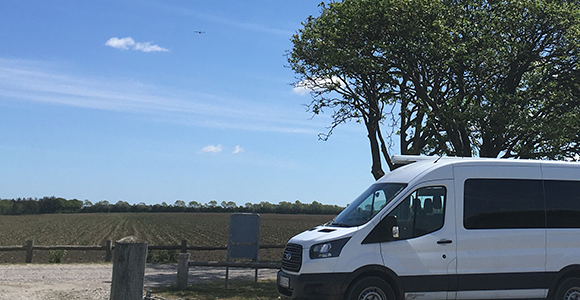
The drone uses camera-based sensors to collect information on the crop’s health and growth on square meter level throughout the entire growh season.
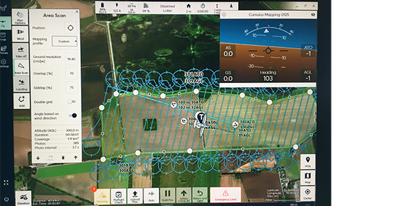
Data from drones help farmers
Using the data, the researchers develop a decision support system, that converts the collected data to easy-to-use information for the farmer .
The information helps the farmer to decide where and when a given field should receive treatment against attacks from for instance mould.
Project period
January 2018 - December 2022
Supported by
Total budget is 21,9 mio. DKK, whereof 14,8 mio. DKK comes from The Green Development and Demonstration Programme (GUDP), Ministry of Food, Agriculture and Fisheries of Denmark.
Partners
Agrointelli, Fieldsense, Conpleks ApS, Gyldensteen Gods, Aarhus University, TEK Innovation and SDU UAS Center.